Description
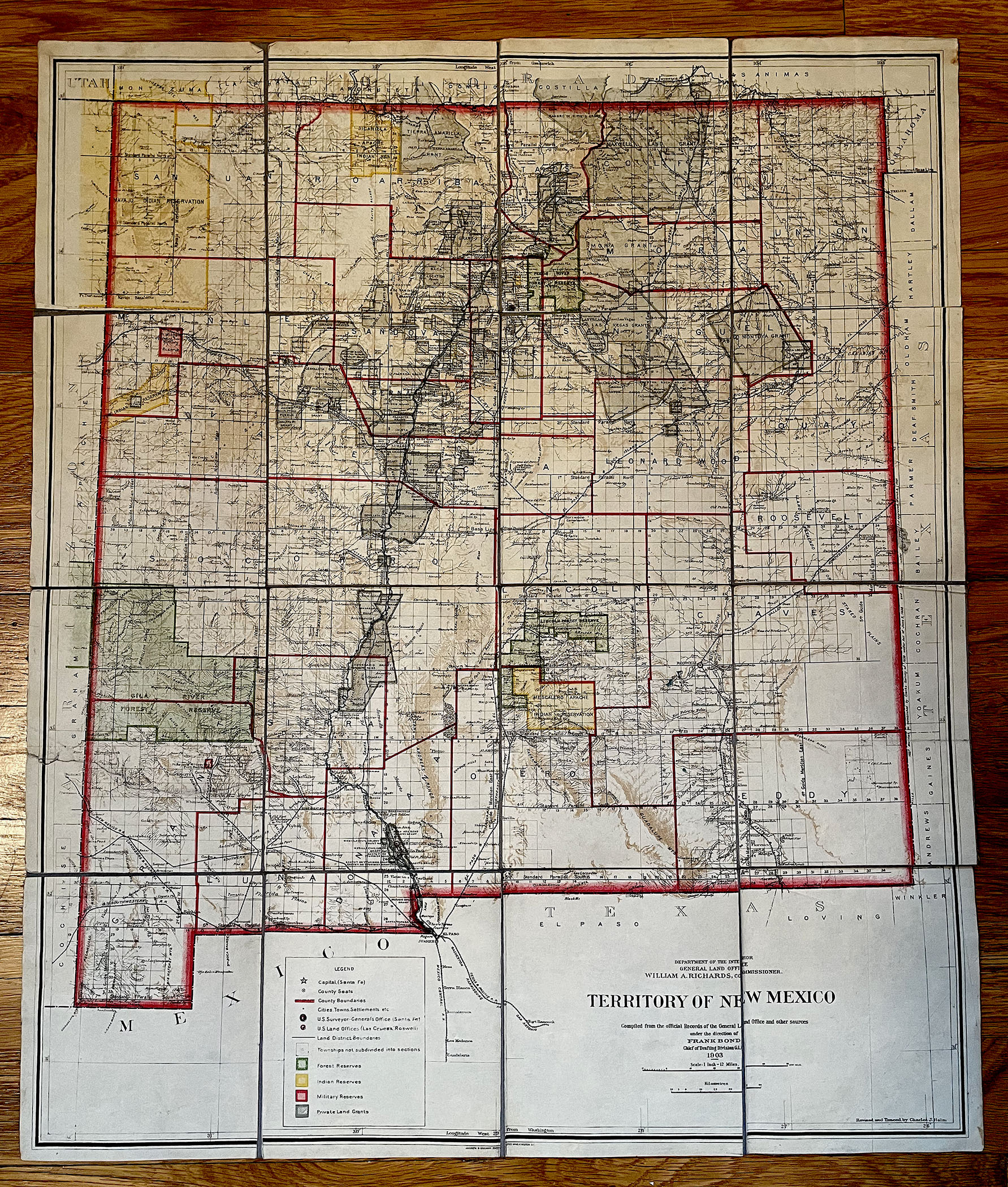
TERRITORY OF NEW MEXICO MAP 1903
Department of the Interior General Land Office, William H. Richards, Commissioner
Compiled from the Official Records of the GENERAL LAND OFFICE and other sources under the director of FRANK BOND, Chief of Drafting Division, 1903
Revised and Traced by CHARLES J. HELM
Andrew B. Graham Photo-Lith Co., Printers
Topographical, counties, towns, cities, railroads, roads, streams, rivers, lakes, etc.
Dimensions: 18-1/2 inches by 22 inches
Condition: very good to very good plus; dissected and mounted on linen
COLORADO ARTIFACTUAL


