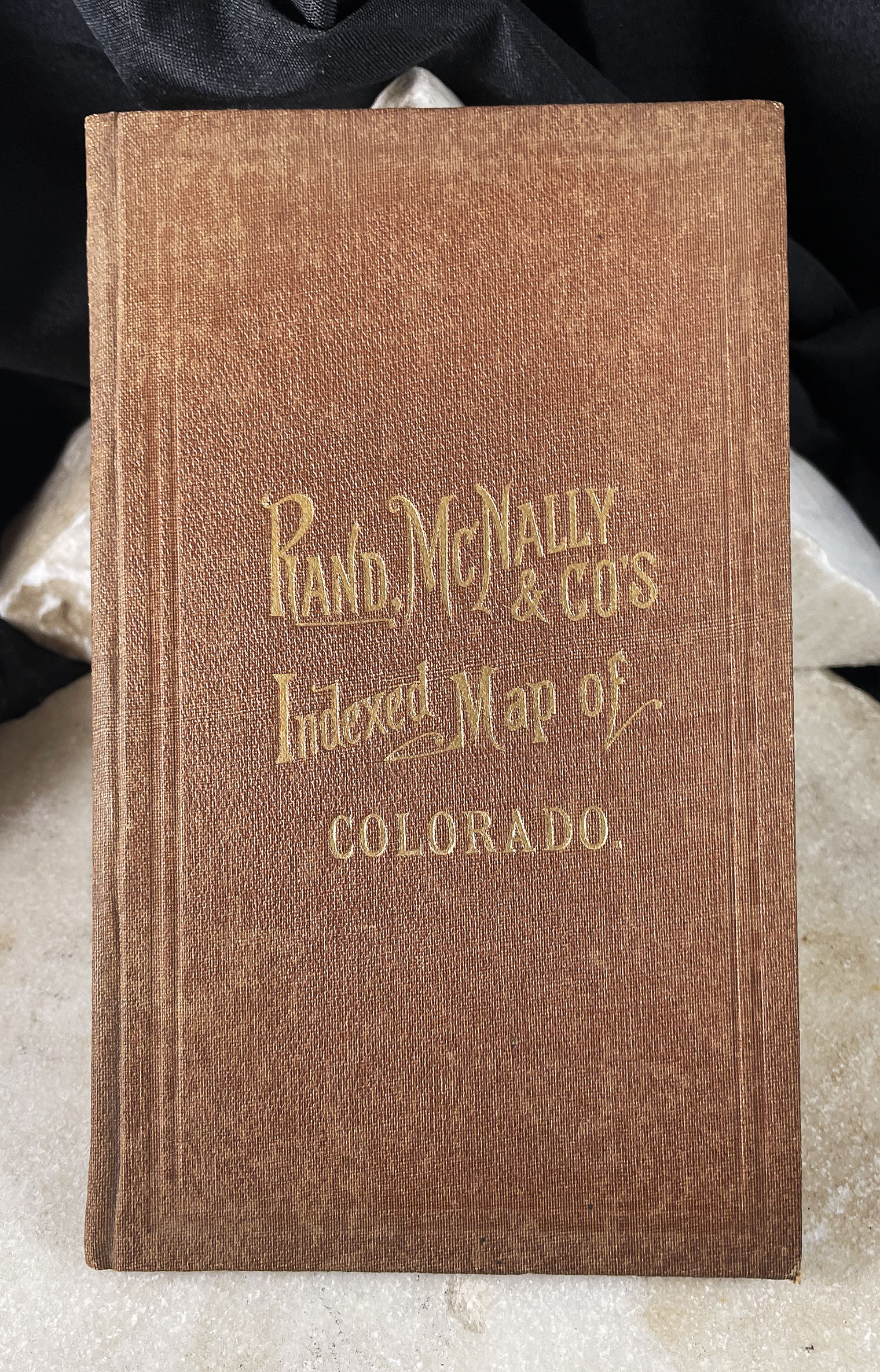


MAP OF COLORADO indexed Rand McNally pocket map with booklet 1881
$3,950.00
Related products
-

MAP OF MINING DISTRICTS SURROUNDING TOWNSITE IDAHO SPRINGS COLORADO by Theodore Lowe, 1881
$15,000.00 -

UNITED GOLD MINES COMPANY ANNUAL REPORT Cripple Creek Gold Mining District Colorado with map 1904
$1,500.00 -

RICHARDSON ROME Map MOUNTAIN EMPIRE OF WEST GRAND COUNTY COLORADO 1934
$900.00 -

COLTON’S POCKET MAP of WYOMING COLORADO and UTAH 1877
$4,500.00