Description
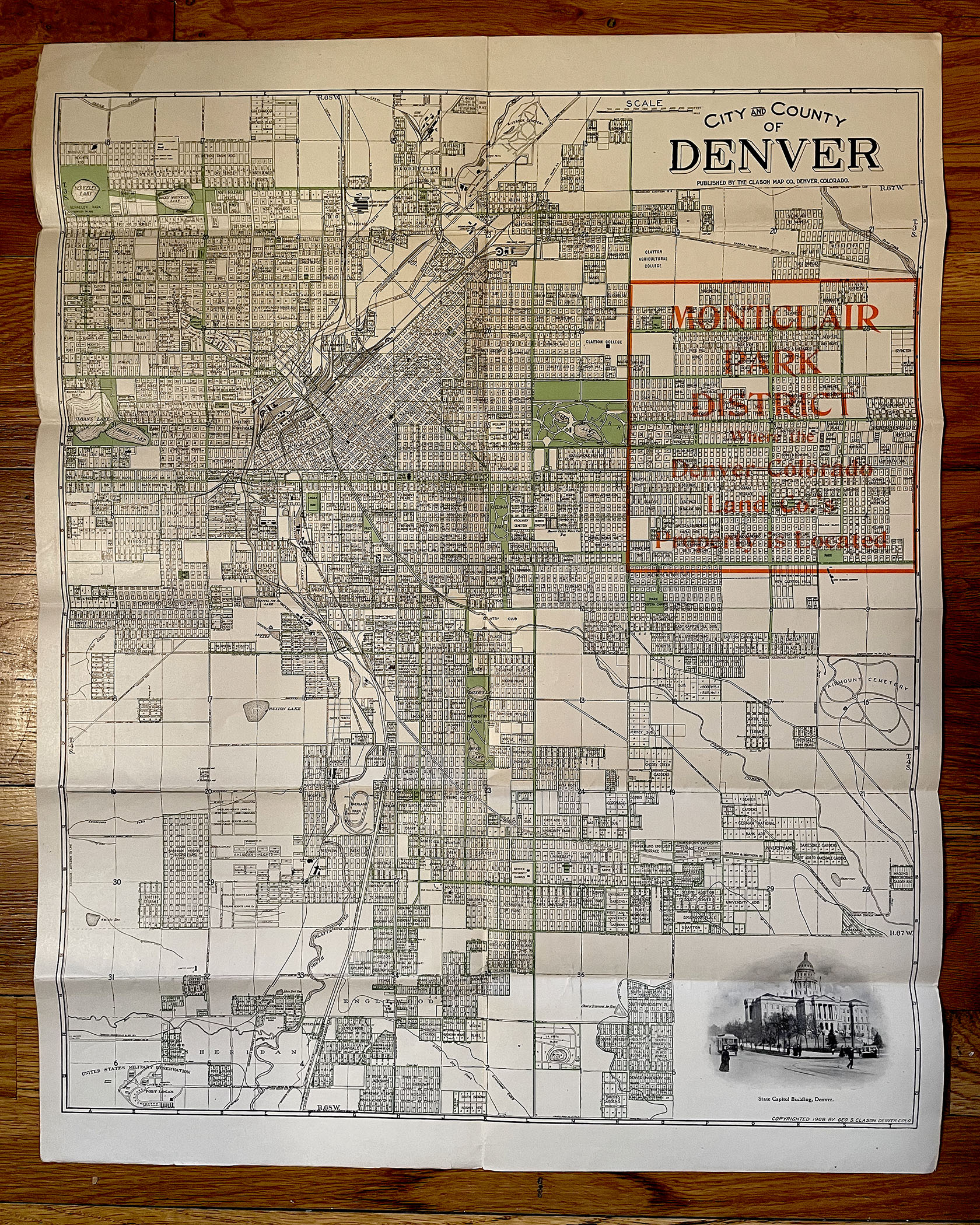
MAP OF THE CITY AND COUNTY OF DENVER, COLORADO 1908
Published by the Clason Map Co., Denver, Colorado, 1908
Promotional: FACTS ABOUT DENVER REALTY, Denver – Colorado Land Company, Denver, Colorado
with a special focus on THE MONTCLAIR PARK DISTRICT.
Folding map: 12 panels per side of single sheet
Several photographic illustrations. Printed on both sides of sheet
Map details lots, blocks, subdivisions, rivers, streams, lakes, roads and railroads, etc.
Condition: very good to very good plus; some light conservation repair; printed on thick bond, enameled paper.
Dimensions: 19 inches by 23-1/2 inches
COLORADO ARTIFACTUAL


