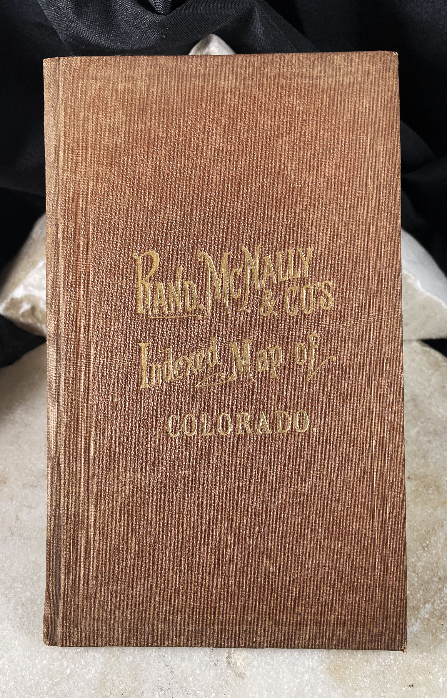


MAP OF COLORADO indexed Rand McNally pocket map with booklet 1881
$3,950.00
Related products
-

HAYDEN SURVEY COLORADO ATLAS original 1881 edition
$0.00 -

MAP OF MINING DISTRICTS SURROUNDING TOWNSITE IDAHO SPRINGS COLORADO by Theodore Lowe, 1881
$15,000.00 -

BLUE RIVER GOLD FIELDS & SWANDYKE MINING DISTRICT SUMMIT COUNTY COLORADO maps Widmar & Dill 1900
$3,000.00 -

SILVER REGION SIERRA MOJADA & ROSITA COLORADO TERRITORY Carl Wulsten 1876
$7,750.00