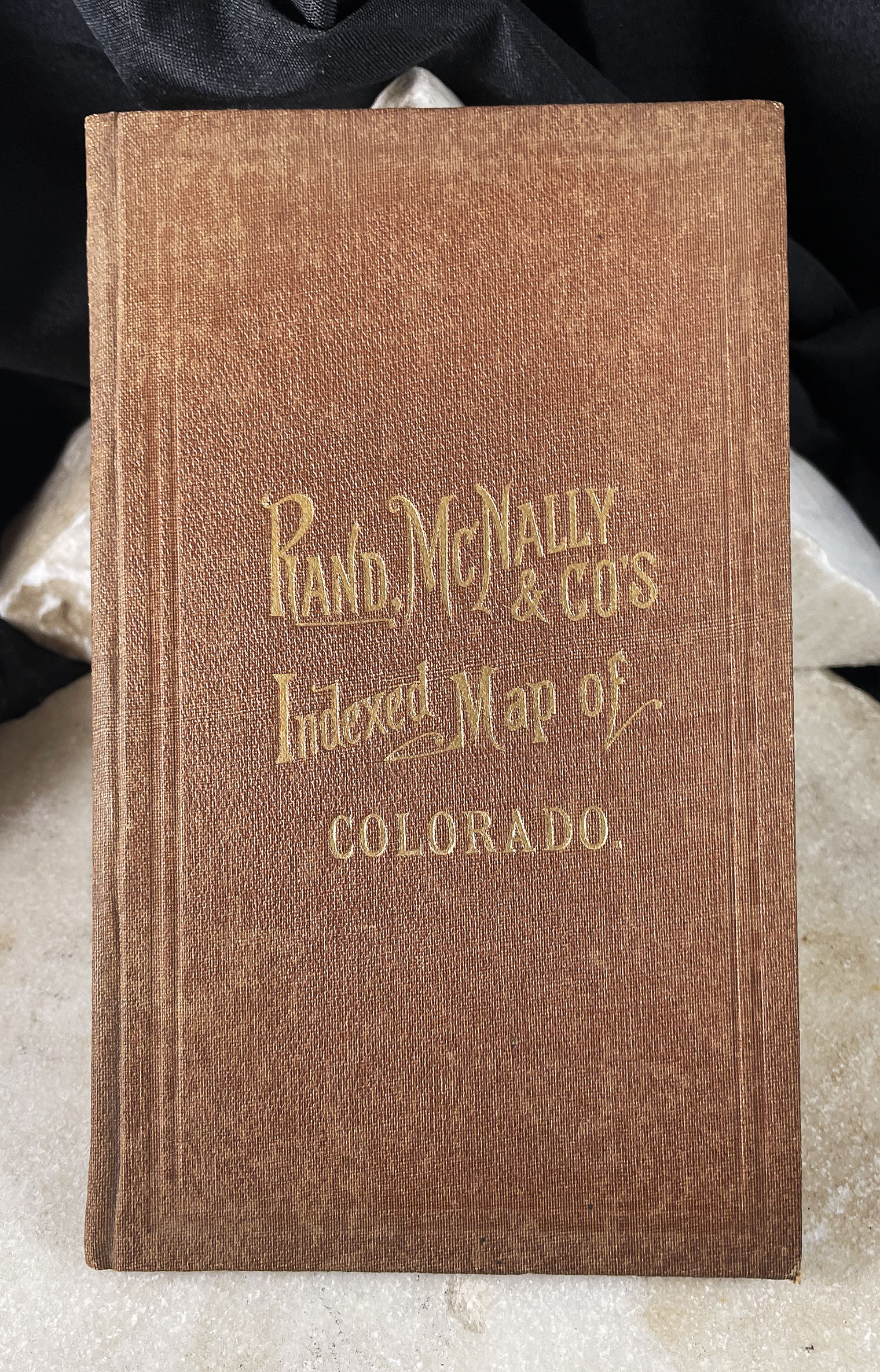


MAP OF COLORADO indexed Rand McNally pocket map with booklet 1881
$3,950.00
Related products
-

UNITED GOLD MINES COMPANY ANNUAL REPORT Cripple Creek Gold Mining District Colorado with map 1904
$1,500.00 -

COLORADO AGRICULTURAL COLLEGE FT COLLINS COLORADO bird’s eye view panoramic lithograph 1880
$0.00 -

SAN LUIS VALLEY COLORADO promotional book A. R. Pelton & C. W. Erdlen 1891
$1,350.00 -

BLUE RIVER GOLD FIELDS & SWANDYKE MINING DISTRICT SUMMIT COUNTY COLORADO maps Widmar & Dill 1900
$3,000.00