Description
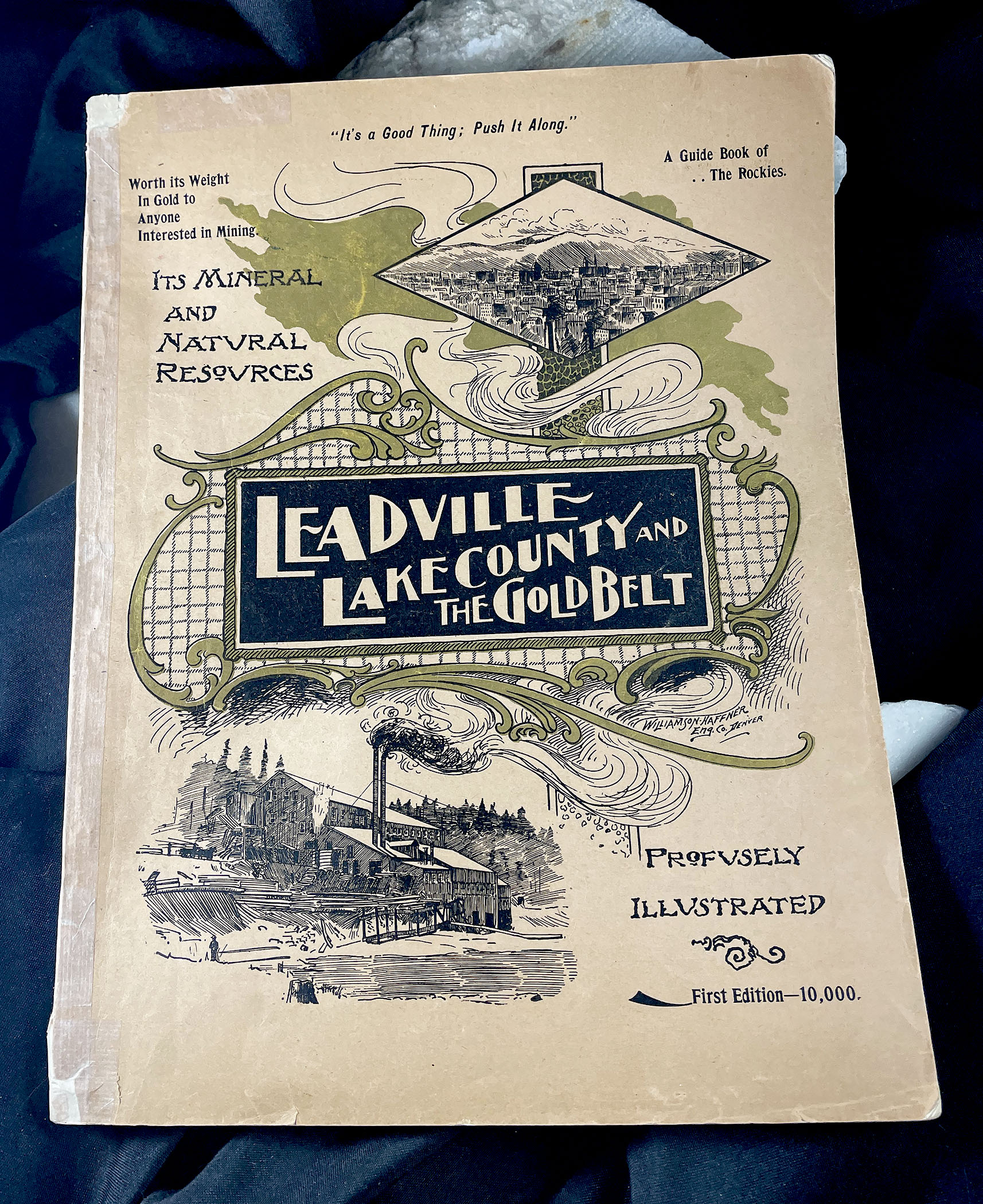
LEADVILLE, LAKE COUNTY and THE GOLD BELT, COLORADO: ITS MINERAL AND NATURAL RESOURCES, Profusely Illustrated with photographs and maps, 1895
First edition
By Jay F. Manning
Publishers: Manning, O’Keefe & DeLashmutt, Leadville, Colorado, 1895
Condition: very good plus; conservation reinforcement of spine, folds of some of the maps; several page mends; otherwise, complete, minor chipping to original covers; complete with 4 folding Boehmer maps; illustrated.
Publication dimensions: 9-1/4 inches by 12 inches; 168 pages
4 Max Boehmer folding maps of Leadville, Colorado:
1) Lake County, Colorado; 17 inches by
16 inches;
2) Topographical Map of the Carbonate Regions
in the Vicinity of Leadville, Colorado;
16-1/2 inches by 12 inches;
3) Map of the Mining Claims of Leadville,
Colorado, 1894; 13 inches by
11 inches; and
4) Map of Leadville Gold Belt;
11 inches by 9-3/4 inches
Map paper is slightly toned, making them a bit fragile; however, all are complete and useable.
Information on the Leadville mining and smelting industries; on mines and railroads; on business and personalities.
Scarce publication; a landmark in Leadville promotion, history, and production.
[If you’re interested in Leadville and are one of its ardent researchers and/or collectors, this publication is a must.]
COLORADO ARTIFACTUAL


