Description
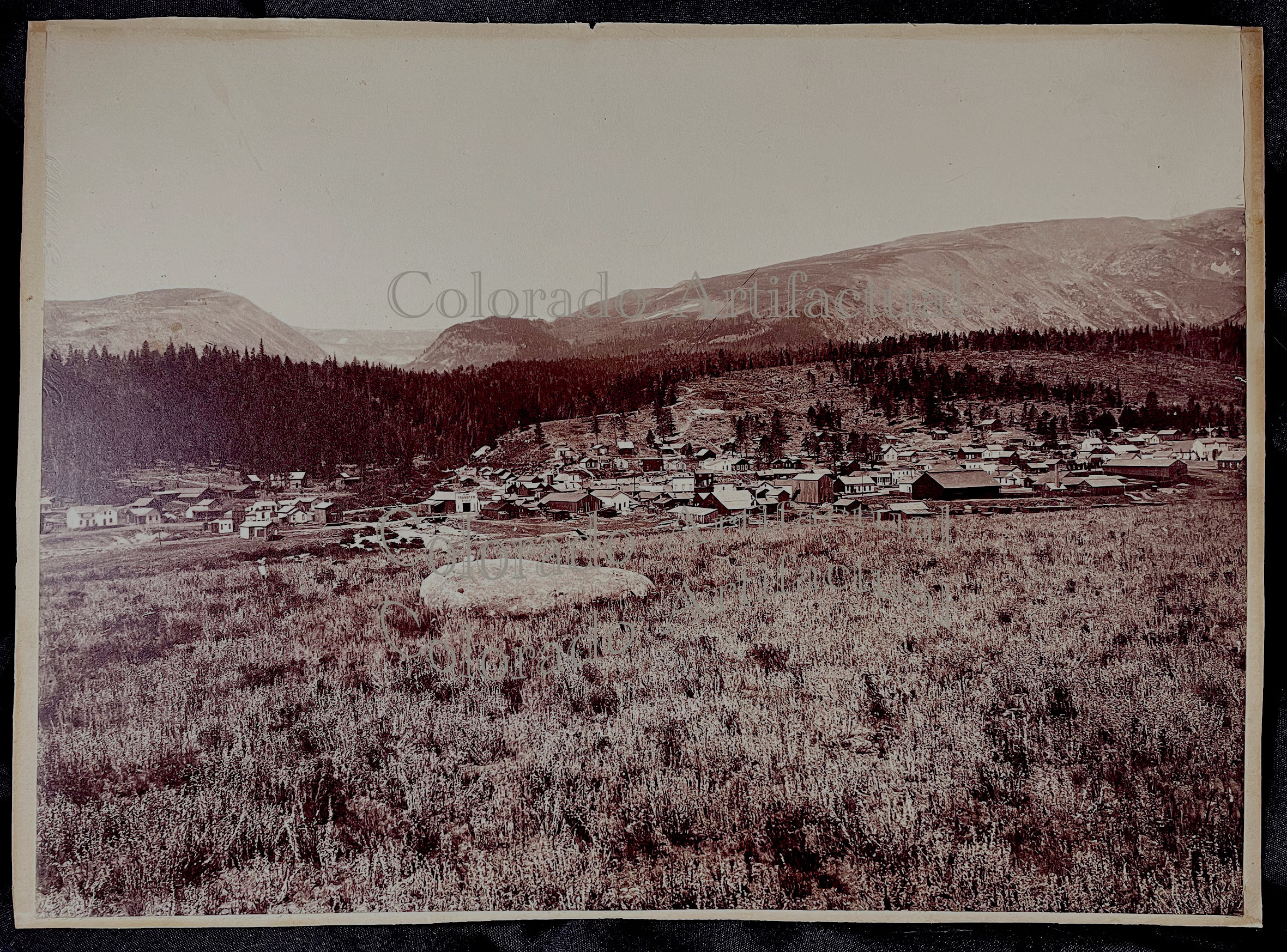
Alma, Park County, Colorado panorama, 1889
T. C. Miller: Stereoscopic Views of Alma & Park County, Colorado
Original albumen stereoviews · 1880–1886
This offering is an original albumen panorama of the Town of Alma, Park County, Colorado, attributed to T. C. Miller and reprinted by his business partner, James W. Nutt, in 1889. T.C. Miller is best known for his stereoviews, which makes this large panorama — 13-1/2 inches by 10 inches (imperial size) — a scarcity. The original was cut-back sometime in the past; however, the original photographic image remains completely intact. This image was most likely taken around 1886, just before T.C. Miller sold his share in the Alma photography business to Nutt.
Near fine to fine condition; excellent tones and contrasts.
The Town of Alma came into being because of mining discoveries on Mt. Bross, Park County, Colorado Territory. There’d been gold and silver mining in the area earlier –around Buckskin Joe, Montgomery, Quartzville, and others — but it was the development of the Moose Mine, located on Mt. Bross in 1871 at 13,860 feet that gave new life to South Park mining districts. The owners of this irregular, thin claim wasCaptain Plummer, J.H. Dudley, and a man known as Mr. Myers. (Bayou Salado by Virginia McConnell, Pgs. 120-127). Word of this discovery spread and the following summer witnessed an incredible rush into the area.
New towns were founded and others revived. The office of The Moose Mining Company was opened in Dudley. The Peters smelter was erected in 1872. Other mines were discovered, such as the Horseshoe, Lincoln, Russia, Dolly Varden and Hiawatha. One mine, the Australia was staked out on Mt. Lincoln, just a couple of hundred feet of the mountain’s oeak, 14,200 feet above sea level. A more readily accessible supply center was needed, one closer to a spur of the Denver, South Park & Pacific Railroad. And thus, the Town of Alma was platted at the junction of the South Platte River and Buckskin Creek.
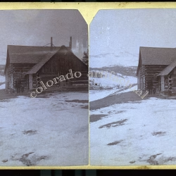
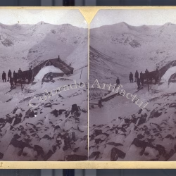
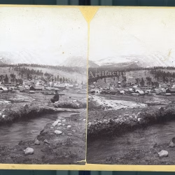
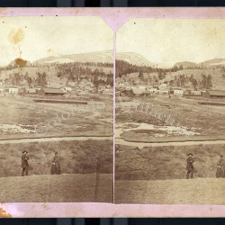
Photographer T. C. Miller set up his camera in Alma, Park County, and recorded the new mining districts at their height. Working under the imprint “Colorado Views, Published by T. C. Miller,” he produced stereoscopic views — paired albumen photographs that, seen through a stereoscope, resolve into a single three-dimensional image — of the towns, mines, freighters, and mountain landscapes of the upper South Platte country.
In 1880, when Miller opened his studio, the Town of Alma had only seven years of development. The town’s post office opened in 1873, three years before Colorado became a state. At an elevation above 10,000 feet, the town was conveniently situated at the foot of Mount Lincoln, Mount Bross, and Mount Democrat. By the early 1880s its streets — often, as Miller’s camera showed, were deep in mud and bustled with miners, freighters, investors and townspeople.
Miller’s stereoviews are a rare visual record of this momen. His subjects range from Alma’s Main Street and business blocks to hydraulic and hard-rock mining operations, ore trains descending Mount Lincoln, and panoramic views of the surrounding Mosquito Range. Because they were made on the spot, in small numbers, and have survived a century and a half, original Miller views in good condition are genuinely scarce and highly collectible.
The collection presented here comprises 46 original T. C. Miller stereoviews of Alma and Park County, dating from 1880 to 1886. Each is offered individually and described in detail. As with all original nineteenth-century photographs, each is a unique survivor — once sold, it is gone.
References:
McConnell, Virginia, BAYOU SALADO: The Story of South Park, Sage Books: Denver, 1966.
Patton, Horace B.; Hoskin, Arthur J.; Butler, G. Montague. GEOLOGY AND ORE DEPOSITS OF THE ALMA DISTRICT, PARK COUNTY, COLORADO, Denver, Colorado: The Smith-Brooks Printing Co., State Printers, 1912. Colorado State Geological Survey, Boulder.
Online references:
The Mining History Association
COLORADO ARTIFACTUAL